Digital Photography

Volbers Hünensteine - 1956 und 2021

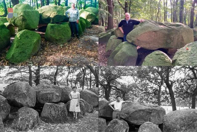
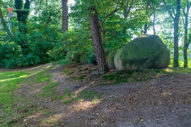
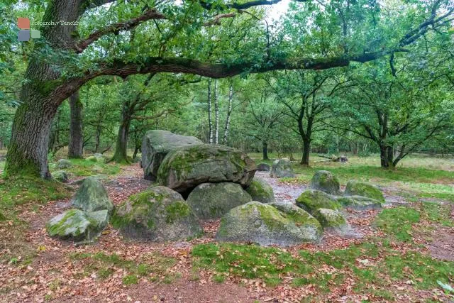
If you travel to the large and long graves of the road of megalithic culture between Osnabrück and Oldenburg, there is a very special Early Stone Age construction near Hüven in Emsland: the Volbers Hünensteine (also called Hüven-Nord with the Sprockhoff no. 842). In June 1956, Lisa and Rudi, Karin's parents, who lived in Lahn at the time, were photographed here. We have recreated the photos and the comparison also shows the changes in the dolmens over the past 65 years.

Country

Route of Megalithic Culture in Emsland

From Oldenburg to Osnabrück, the route of megalithic culture in Emsland runs around 330 kilometers to 33 well-preserved Neolithic burial sites that were built around 5000 years ago. And detours from this route lead to other "dole graves" or at least to places where special rock formations serve as an indication of buildings from the Early Stone Age.

This article shows photos of the following megalithic tombs:

Country

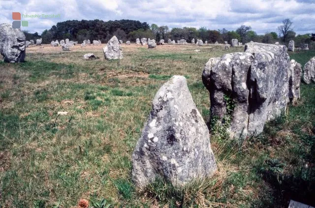
Megalithic culture on the Hümling

Anyone who deals with Stone Age buildings may first think of England's world-famous stone circle called Stonehenge. But also individually standing menhirs (Celtic/large stone), rows of stones (French/alignements), cromlechs (Welsh/curvature) and dolmens (Breton/stone table) are well-known designations for buildings whose age is estimated at 3000 to 5000 years. The different languages ​​already show that these are not regionally limited architectural or structural achievements.

Country

Atomic bomb over Nagasaki

The second atomic bomb dropped by the Americans over Japan was nicknamed Fat Man and when it was dropped on August 9, 1945 in Nagasaki, it killed 36,000 people immediately and countless later, who ultimately died as a result of the radioactivity.

Nagasaki was chosen by the Americans because, in addition to its economic importance, the location of the city and its surrounding mountain slopes promised the maximum destructive effect of the dropped atomic bomb.

Country

Marla in the Cirque de Mafate

Early in the morning we left La Nouvelle for Marla (1629 m). We wanted to spend the second night in the Mafate in the secluded mountain village. Again, the path was fantastic. It went up and down, along streams and partly through forests. Seeing the massive caldera under a blue sky was impressive, especially as we had had few distant views as we made our way through the cloud forests off La Nouvelle.

Country

La Nouvelle in the Cirque de Mafate

A hike through the gorges and over the ridges of the "Cirque de Mafate" is overwhelming. We started in the morning on the north side of the huge caldera of the Piton des Neiges, crossed the Col de Fourche (1,946 m) and finally reached the small mountain town of La Nouvelle (1,450 m) before nightfall, although it was hidden in thick fog. Our surprise was all the greater in the morning when we were able to continue the hike to the next mountain town called Marla under a blue sky and bright sunshine. The road to La Nouvell was beautiful.

Country

Reunion in the Indian Ocean

Reunion is located in the Indian Ocean and belongs to the Overseas Department of France. Until 1794 and after 1848 the island was called Île Bourbon - in between it was called Île Bonaparte under Naples. The black and white photo shows impressions of the Creole population on the beach of St. Gilles les Bains. Creoles denote colonial groups formed by colonialism.

Country